GeoEvident
GeoEvident is an AI-powered geolocation intelligence platform designed specifically for legal agencies, investigative bodies, and compliance professionals. The platform specializes in generating verifiable and legally admissible location intelligence, ensuring complete …
About GeoEvident
GeoEvident is an AI-powered geolocation intelligence platform designed specifically for legal agencies, investigative bodies, and compliance professionals. The platform specializes in generating verifiable and legally admissible location intelligence, ensuring complete …
Use Cases
Real-world scenarios where GeoEvident saves time.
Use Case 1: Geolocation for Fact-Checking
Problem: Verifying where a photo was taken without EXIF data is nearly impossible.
Solution: Matches interior landmarks and outdoor vistas against visual geolocation databases.
Example: An OSINT reporter uploads a room photo to confirm its city of origin.
Use Case 2: Insurance Claim Verification
Problem: Validating whether an accident or damage photo corresponds to a specific property is slow.
Solution: Confirms rental property interior layouts using visual similarity searches.
Example: An investigator analyzes water damage photos against historical vacation property listings.
Use Case 3: Forensic Audit Logging
Problem: Presenting location evidence in compliance files requires a clear verification history.
Solution: Creates exportable PDF reports detailing confidence scores and execution logs.
Example: A compliance analyst exports a spatial analysis report to complete a due diligence file.
Key Features
What you get out of the box.
- Visual indoor cue comparisons
- External street landscaping matches
- Evidence report PDF exports
- Multi-role audit security logs
- On-premises secure installations
Reviews (0)
No reviews yet. Be the first to share your experience!
Related Tags
Similar tools you might like
More tools from the Law and legal category.
 Research
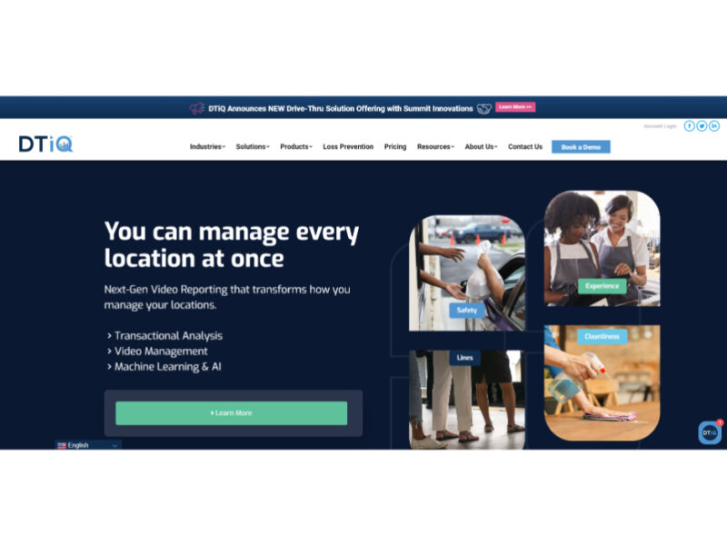
DTiQ
DTiQ stands as a revolutionary solution for businesses in retail, restaurant, and convenience store sectors, …
 Avatar
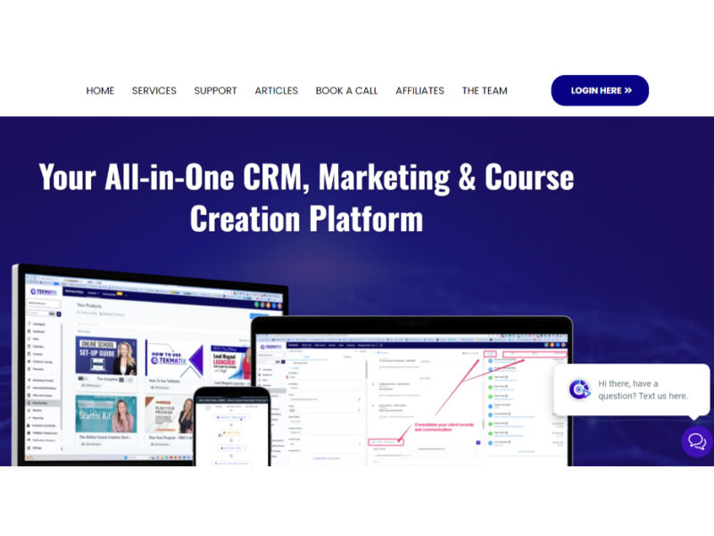
Tekmatix
TekMatix is an all-in-one business management platform that simplifies the complexities of technology and subscription …
 Research
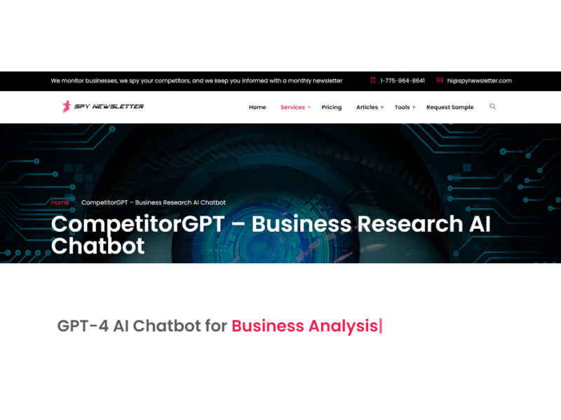
CompetitorGPT
CompetitorGPT, developed by Spy Newsletter, is an AI chatbot that utilizes OpenAI’s GPT-4 and ChatGPT …
 Research
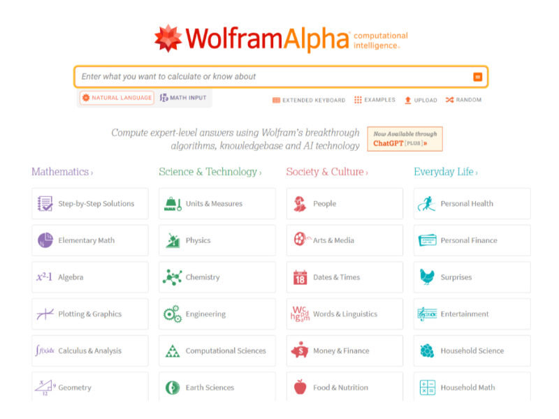
WolframAlpha
Unlock expert-level answers in Mathematics, Science, Society, Culture, and Everyday Life with our exciting and …
 Research
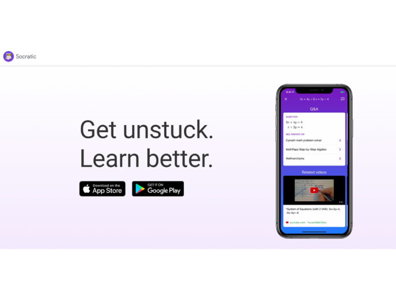
Socratic by Google
Unlock your full academic potential with Google’s AI-powered learning platform and engaging visual explanations. Say …
 Law and legal
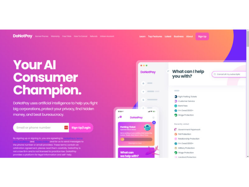
DoNotPay
DoNotPay is an innovative AI-powered platform designed to provide a wide array of legal services …
Are you the owner of GeoEvident?
Claim this profile to update info, add features, and respond to reviews. Verified badges are free.
Login to claim